Search
email:
password:
Forgot your password?
Sign Up
or
Login
email:
password:
Forgot your password?
Sign Up
or
Login
Discover tea. Search by brand, style, and region; learn where your tea comes from.
News
Contact
About
Styles
Brands
Regions
People
Places
Images
Articles
Home
»
Images
»
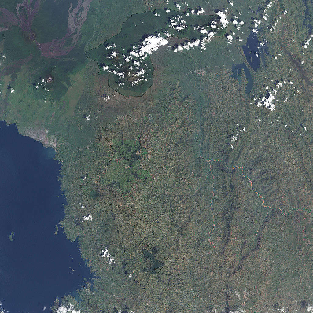
Satellite Photo of Gishwati Forest, Rwanda
View Full Resolution
This satellite photo shows the Gishwati Forest in Rwanda. Tea plantations are visible as light green patches. The darker patches are probably forest plantations of some taller tree type.
Uploaded by
Alex Zorach
RateTea Editor
Joined Sep. 1st, 2009.
Photographer Credit
NASA
Image Source
Public Domain
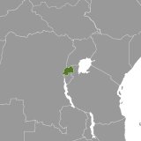
Region:
Rwanda

